As our public viewer is not yet available
(currently under construction, upgrading to a new viewer
as Google Maps API v2 is officially no more supported),
this info is primarily intended to our universal mobile application users
(Weather 4D Android -App-in- on the PlayStore)
and also to our B2B customers which use our nautical charts layers
in their own webmapping applications through our GeoGarage API.
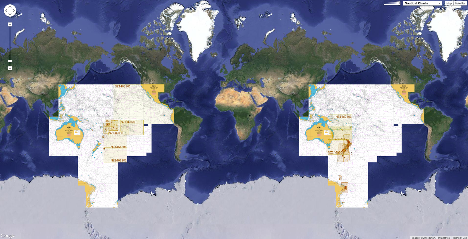
![]() CHS raster charts coverage
CHS raster charts coverage
(currently under construction, upgrading to a new viewer
as Google Maps API v2 is officially no more supported),
this info is primarily intended to our universal mobile application users
(Weather 4D Android -App-in- on the PlayStore)
and also to our B2B customers which use our nautical charts layers
in their own webmapping applications through our GeoGarage API.

99charts have been updated & 4 charts have been added (March 5, 2015)
- 1201 SAINT-FULGENCE À / TO SAGUENAY
- 1203 TADOUSSAC À/TO CAP ÉTERNITÉ
- 1209 SAINT-FULGENCE À / TO RIVIÈRE SHIPSHAW
- 1230 PLANS PÉNINSULE DE LA GASPÉSIE
- 1235 POINTE AU BOISVERT À/TO CAP DE LA TÊTE AU CHIEN
- 1236 POINTE DES MONTS AUX/TO ESCOUMINS
- 1310 PORT DE MONTRÉAL - COMPARTMENT B-C
- 1311 SOREL-TRACY À / TO VARENNES
- 1312 LAC SAINT-PIERRE
- 1313 BATISCAN AU/TO LAC SAINT-PIERRE
- 1315 QUÉBEC À/TO DONNACONA
- 1316 PORT DE QUÉBEC
- 1317 SAULT-AU-COCHON À/TO QUÉBEC
- 1320ÎLE DU BIC AU/TO CAP DE LA TÊTE AU CHIEN
- 1350A SOREL - TRACY AU/TO RUISSEAU LAHAISE
- 1350B RUISSEAU LAHAISE À/TO SAINT-ANTOINE-SUR-RICHELIEU
- 1351A BASSIN DE CHAMBLY À/TO ÎLE SAINTE-THÉRÈSE
- 1351B ÎLE SAINTE-THÉRÈSE À/TO POINTE À LA MEULE
- 1351C POINTE À LA MEUILE À/TO POINTE NAYLOR
- 1351D POINTE NAYLOR AU LAC/TO LAKE CHAMPLAIN
- 1430 LAC SAINT-LOUIS
- 1512A OTTAWA TO / À LONG ISLAND
- 1512B LONG ISLAND TO / À BECKETTS LANDING
- 1512C BECKETTS LANDING TO / À SMITHS FALLS
- 1514A CARILLON À/TO L'ORIGNAL
- 1514B L'ORIGNAL À/TO PAPINEAUVILLE
- 1515A PAPINEAUVILLE À/TO OTTAWA
- 1515B BECKETTS CREEK
- 2259 JOHN ISLAND TO / À BLIND RIVER
- 2299 CLAPPERTON ISLAND TO/À MELDRUM BAY
- 3001 Vancouver Island Île De Vancouver Juan De Fuca Strait To/À Queen Charlot
- 3052A OKANAGAN LAKE - PENTICTON TO/À KELOWNA A - B
- 3052B OKANAGAN LAKE - KELOWNA TO/À VERNON B - C
- 3419 ESQUIMALT HARBOUR
- 3441 HARO STRAIT BOUNDARY PASS AND/ET SATELLITE CHANNEL
- 3456 HALIBUT BANK TO/À BALLENAS CHANNEL
- 3459 APPROACHES TO/APPROCHES À NANOOSE HARBOUR
- 3475 PLANS - STUART CHANNEL
- 3493 VANCOUVER HARBOUR WESTERN PORTION/PARTIE OUEST
- 3512 STRAIT OF GEORGIA CENTRAL PORTION/PARTIE CENTRALE
- 3534 PLANS - HOWE SOUND
- 3538 DESOLATION SOUND AND/ET SUTIL CHANNEL
- 3546 BROUGHTON STRAIT
- 3548 QUEEN CHARLOTTE STRAIT (CENTRAL PORTION/PARTIE CENTRALE)
- 3549 QUEEN CHARLOTTE STRAIT WESTERN PORTION/PARTIE QUEST
- 3555 BEAVER INLET
- 3598 CAPE SCOTT TO CAPE CALVERT
- 3602 APPROACHES TO/APPROCHES À JUAN DE FUCA STRAIT
- 3605 QUATSINO SOUND TO / À QUEEN CHARLOTTE STRAIT
- 3675 NOOTKA SOUND
- 3710 CHANNELS EAST OF CHENAUX À L'EST DE MILBANKE SOUND
- 3711 PLANS VICINITY OF/PROXIMITÉ DE PRINCESS ROYAL ISLAND
- 3719 INLETS IN CAMPANIA AND PRINCESS ROYAL ISLANDS
- 3723 BORROWMAN BAY
- 3729 DEAN CHANNEL SOUTHERN PORTION/PARTIE SUD AND /ET BURKE CHANNEL
- 3730 DEAN CHANNEL (NORTHERN PORTION) AND NORTH AND SOUTH BENTINCK ARMS
- 3736 KITIMAT AND / ET KEMANO BAY
- 3744 QUEEN CHARLOTTE SOUND
- 3802 DIXON ENTRANCE
- 3808 JUAN PEREZ SOUND
- 3921 FISH EGG INLET AND/ET ALLISON HARBOUR
- 3935 HAKAI PASSAGE AND VICINITY/ET ENVIRONS
- 3956 MALACCA PASSAGE TO/À BELL PASSAGE
- 3957 APPROACHES TO/APPROCHES À PRINCE RUPERT HARBOUR
- 3958 PRINCE RUPERT HARBOUR
- 4001 GULF OF MAINE TO STRAIT OF BELLE ISLE / AU DÉTROIT DE BELLE ISLE
- 4002 GOLFE DU SAINT-LAURENT GULF OF ST. LAWRENCE
- 4003 CAPE BRETON TO / À CAPE COD
- 4011 APPROACHES TO/APPROCHES À BAY OF FUNDY/BAIE DE FUNDY
- 4013 HALIFAX TO / À SYDNEY
- 4015 SYDNEY TO/À SAINT-PIERRE
- 4016 SAINT-PIERRE TO/À ST JOHN'S
- 4022 CABOT STRAIT AND APPROACHES / DÉTROIT DE CABOT ET LES APPROCHES
- 4025 CAP WHITTLE À/TO HAVRE SAINT PIERRE ET/AND ÎLE D'ANTICOSTI
- 4045 SABLE ISLAND BANK/BANC DE L'ÎLE DE SABLE TO/AU ST. PIERRE BANK/BANC DE S
- 4098 SABLE ISLAND / ÎLE DE SABLE
- 4116 APPROACHES TO/APPROCHES À SAINT JOHN
- 4241 LOCKEPORT TO / À CAPE SABLE
- 4277 GREAT BRAS D'OR / ST. ANDREWS AND / ET ST. ANNS BAY
- 4306 STRAIT OF CANSO AND/ET SOUTHERN APPROACHES/LES APPROCHES SUD
- 4328 LUNENBURG BAY
- 4367 FLINT ISLAND TO/À CAPE SMOKEY
- 4375 GUYON ISLAND TO/À FLINT ISLAND
- 4384 PEARL ISLAND TO/À CAPE LA HAVE
- 4396 ANNAPOLIS BASIN
- 4403 EAST POINT TO/À CAPE BEAR
- 4421 BOUGHTON RIVER
- 4448 PORT HOOD
- 4469ÎLE PLATE À/TO ÎLE DU PETIT MÉCATINA
- 4474ÎLES BUN À/TO BAIE DES MOUTONS
- 4617 RED ISLAND TO/À PINCHGUT POINT
- 4641 PORT AUX BASQUES
- 4679 HAWKES BAY \ PORT SAUNDERS\ BACK ARM
- 4827 HARE BAY TO / À FORTUNE HEAD
- 4839 HEAD OF/FOND DE PLACENTIA BAY
- 4845 RENEWS HARBOUR TO/À MOTION BAY
- 4865 APPROACHES TO/ APPROCHES À LEWISPORTE AND/ET LOON BAY
- 4921 PLANS-BAIE DES CHALEURS / CHALEUR BAY - CÔTE NORD / NORTH SHORE
- 4957 HAVRE-AUBERT
- 5351 PAYNE BAY AND APPROACHES NEW
- 5457 DECEPTION BAY NEW (2 charts)
- 7181 DURBAN HARBOR NEW
So 796charts (1685 including sub-charts) are available in the Canada CHS layer. (see coverage)
Note : don't forget to visit 'Notices to Mariners' published monthly and available from the Canadian Coast Guard both online or through a free hardcopy subscription service.
This essential publication provides the latest information on changes to the aids to navigation system, as well as updates from CHS regarding CHS charts and publications.
See also written Notices to Shipping and Navarea warnings : NOTSHIP